Geographical Information’s Systems in M&E [GISME]
Course Overview:
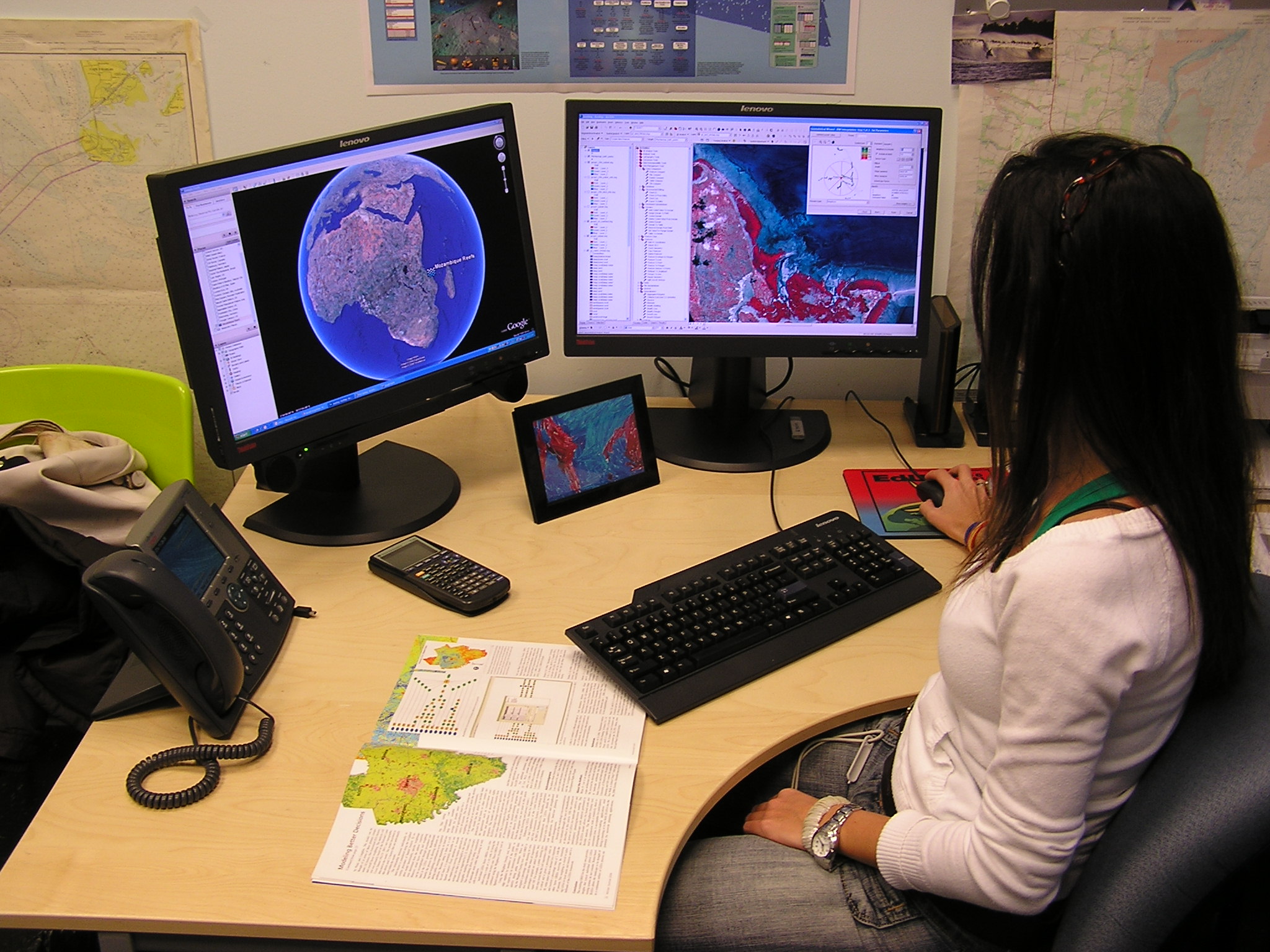
This course equips participants with GIS skills for data-driven decision-making in Monitoring and Evaluation (M&E). Learn how spatial analysis enhances project tracking, impact assessment, and resource allocation using GIS tools like QGIS, ArcGIS, and KoboToolbox.
Learning Objectives:
By the end of the course, participants will:
-
Understand GIS fundamentals and applications in M&E.
-
Collect, manage, and visualize geospatial data effectively.
-
Integrate GIS with mobile data collection (KoboToolbox, ODK).
-
Conduct spatial analysis for project monitoring and impact assessment.
-
Generate maps and reports to support evidence-based decision-making.
Course Modules:
-
Principles of GIS and spatial data
-
GIS applications in development projects
-
Overview of mapping tools (ArcGIS, QGIS, Google Earth)
Target Audience:
-
GIS for real-time decision-making
-
Predictive analytics in project planning
-
Web-based GIS dashboards
Course Format & Duration:
-
Duration: 10 weeks (depending on depth)
-
Mode: Online or in-person training
-
Hands-on Exercises: Practical application using case studies
-
Assessment: Project-based assignments and a final GIS report
Tools and Software (All Free/Open Source):
-
QGIS – Desktop GIS
-
KoBoToolbox – Mobile data collection
-
Google Earth – Visualization
-
OpenStreetMap – Basemap & data source